
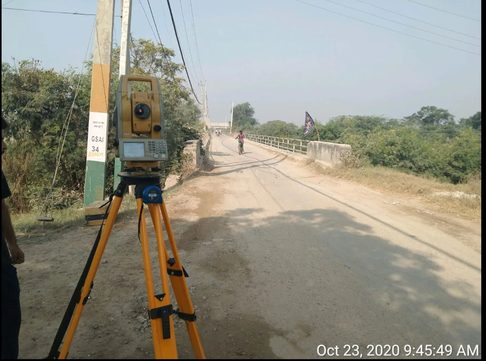
What Is a Topographic Survey? — Civil Engineering Guide for Site Developers
A topographic survey maps the 3D shape of the ground — elevations, contours, natural and man-made features — into a CAD drawing, DTM and contour map ready for architectural, DPR, or engineering use.